"All you're doing is reading a book with your feet."
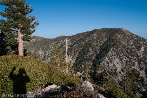
| Hello from above 8,000ft |
I heard the above sound-byte on This American Life (NPR) the other day, spoken by a man of wise age to a twenty three year old kid that was undertaking a walk across America & it was just a nice sentiment to mule over while walking down the trail.
| Click To Play |

| Hello from above 8,000ft |
I heard the above sound-byte on This American Life (NPR) the other day, spoken by a man of wise age to a twenty three year old kid that was undertaking a walk across America & it was just a nice sentiment to mule over while walking down the trail.
| Click To Play |
Many that are familiar with Icehouse Canyon know the stampede of cars on the weekend that bombard the parking lot & the almost constant flow of hiking enthusiasts & newbies walking the trail to Icehouse Saddle. Understandably a popular trail due it's wonderful beauty & it's mild grade for much of the first couple miles, with a good hearty switchback section to get the sweat going. Named for it's early history of Ice production & ability to hold snow longer than other areas of the Gabriels.
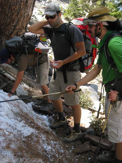
| Several section's still with snow at Kelly's & on the way |
A good portion of hikers end their day at the Saddle & return to their cars, but this is a 5 way trail junction over 6,000ft, there most certainly is much more to explore. In the past we have gone over the Three T's from this point which is a stunning hike of total seclusion & also another time on a solo trip to Kelly's Camp.
| How could anyone sit on the couch? |
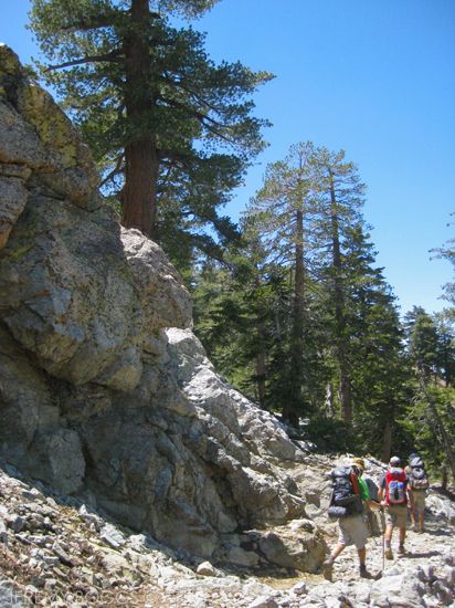
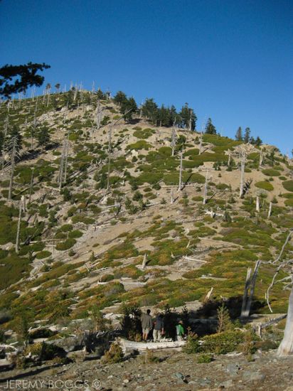
Our goal this time was to bag Ontario & Big Horn Peaks, so off our group went towards Kelly's Camp (well marked). This next mile or so to the camp is such a stunning section of trail. It slowly brings us south on the flanks of Big Horn & in plain view of Mt. Baldy across San Antonio Canyon. There are amazing rock formations standing thirty feet over head at times, layered in brightly colored lichen.
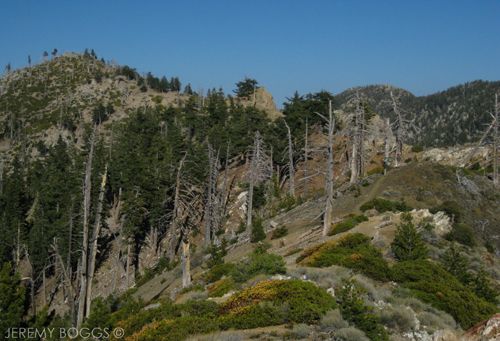
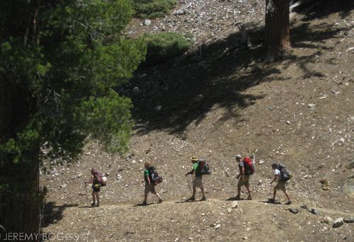
| Ridge trail to Big Horn Peak (on left). Can you see three hikers? |
Along the trail up to the saddle we passed two different boy scout troops eating lunch, we learned they two would eventually be heading to the same camp. A crowded nights sleep was our main motivation to make it to camp fast. Perched high above the camp floor, we set up for the night's stay with no one around.
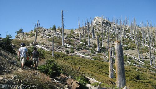
| Final climb to Big Horn's summit |
After filtering water & making a few new friends we decided to check off one of these peaks. The trail out of Kelly's Camp climbs nicely to a beautiful saddle (un-named?) with a sign pointing in both directions, one for Ontario & the other for Big Horn. We opted for Big Horn & set out on the gorgeous ridge trail that lay before us.
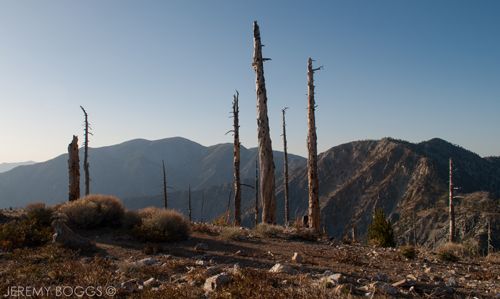
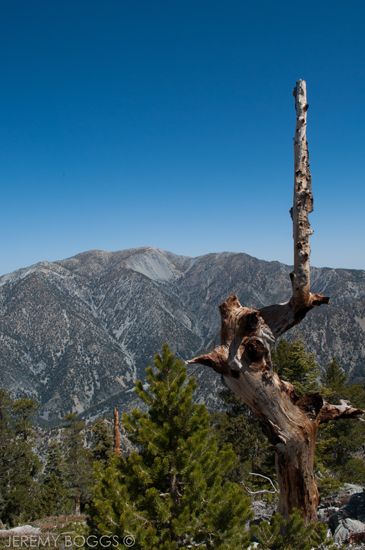
| Left to Right: West Baldy, Mt. Baldy, Mt Harwood, Telegraph Peak |
Wrapping around a few roller coaster bumps, we found ourselves looking right up at the peak, only about 5 more minutes of some steep uphill. The sun was beginning is descent in the Western sky behind us, setting up for a magical summit experience.
| Big Horn Summit |
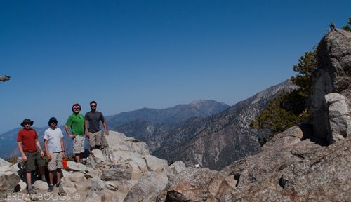
Resting easy at 8,441ft on Big Horn, the four of us looked off towards Cucamonga & Etiwanda Peaks, growing majestic with the waning light, pondering further travels soon to come. Wrapping up with a group photo we set off for camp, deciding for a cross country route that proved to work out well. Arriving just in time to meet our friends Bud & Krista that had just walked into camp, happy to drop their packs & relax.
| Trail leading out to Ontario Peak |
Now our group was complete with all six & what would become infamous as our most bountiful backcountry meal to date could commences. Still baffling to us, the shared dinner meals just kept coming for close to two and half hours. Everything from crispped brussel sprouts to teriakyi chicken salami burritos.
| Rock formations & Cucamonga Peak in the back |
The next morning, four of us set out to tackle 8,693ft Ontario Peak. Marching once again to the first saddle with the wooden sign pointing 1 mile to the peak. But others have scratched in another .7 to add to that mile. Does anyone know if this is true?
| Looking south from below Ontario Peak |
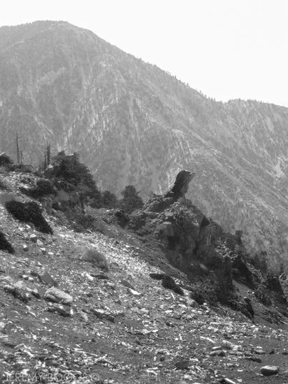
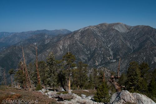
From the saddle the views of the entire Baldy/Telegraph region only grow each bend in the trail. We slowly gain ground to a great false summit, at which point you can actually see the real summit off in the distance. All that means is more stupendous ridge walking. At times the trail follows close to very exposed edges (with no danger) that gave us such wonderful show in all directions.
| On top of Ontario Peak, looking north (& a hint west) |
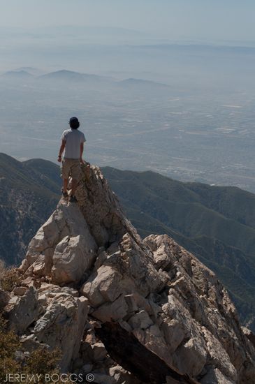
Reaching Ontario Peak was a great feeling. Riding the high of mother nature's bounty laid out before us was exhilarating on this peak. We could see Mt. Baden-Powell far off in the north west & our recent nemisous, Iron Mountain, standing rock solid & "unassuming" from this vantage... but we know better now. My thoughts wandered to the PCT hikers that were slowly making their way into the Jacinto, Bernadino & Gabriel ranges now & what a wonderful life changing struggle that would be to accomplish.
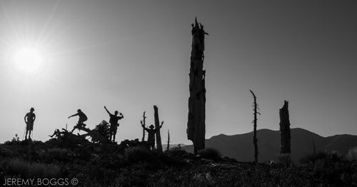
| Timed photo: Ontario Peak |
Still snapping pictures away & trading stories with other hikers that have now summited, the views only unfold more as we take our time to really drink them in. Telegraph Peak has got to be one of my favorites in the entire Gabriels. While observing it from any far off trail it's craggy chutes & elusive deep summit are such a wonder. The views from atop (& the entire Three T's hike in general) are out this world.
Back at camp we knew it was time to throw on our packs & make our way back down Icehouse Canyon to our cars. Our trip had been a success on many levels, even helping out several hikers that didn't quite know what they were getting into setting out into the CucamongaWilderness. With all experienced hikers it is amazing what you can accomplish; a comfortable excursion into the upper elevations of our local world can be such a welcomed escape from city life. On our exit we managed to hike the 4.6 miles back down canyon in one hour and fifty minutes. Felt damn good.
Till Next Time.

2 comments:
Awesome trip report. I love the Cucamonga Wilderness. From the saddle it's 1.4 miles to Ontario, at least that's what my Garmin tells me, which agrees with the Tom Harrison map.
Thanks Sean for the info! It does feel more than a miles going out there from that brown sign at the saddle. Such nice views as a reward.
Post a Comment