
*Read Part 2 of Historic Gabrielino Trail West*
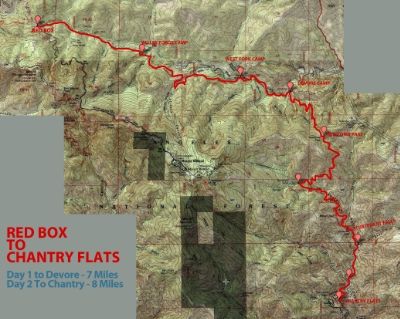
Here we were again, Carlos, Collin & I waking with the sun to set up a thru hike in the San Gabriel Mountains. Parking the first car at Chantry Flats, we had another kind friend shuttle us up to Red Box, along the Angeles Crest Highway. We all chuckled a little during the 45 minute car ride, that we would eventually connect with a 15 mile hike.
Setting off down hill from the parking lot we can see deep into the West Fork & a rough guide of where we were headed. Most of the day was punctuated by some fancy helicopter maneuvers between 4 different choppers. We would learn later they were installing new electric/communication towers to string lines.
Enough of that, after all we are out in the woods to get away & live a much simpler life, even if it is just for a night. Alas, this specific adventure, the Gabrielino Trail, has a long history of Native Americans & early pioneers using its same pathways to live a much more simplified life in the hills outside the growing LA basin.
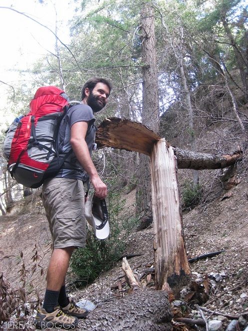
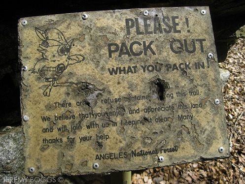
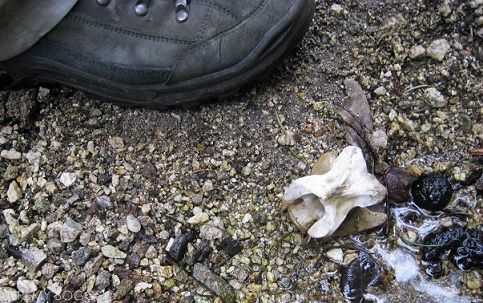
We were able to carry out a few balloons, some bottles & a can or two found along the way.
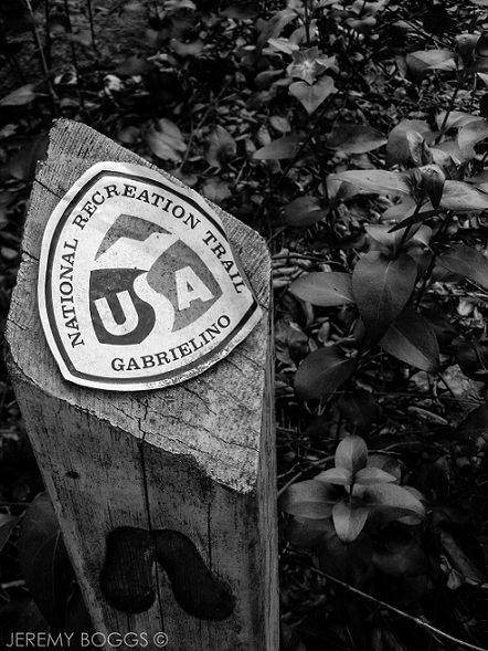
In 1970 this pathway was designated a National Recreation Trail & runs a total of 28.5 miles. We were descending down to Devore Trail Camp some 7 miles into our hike. Past reports had led me to believe the section between West Fork Camp and Devore would be overgrown and hard to follow, but we did not find that to be the case. Some hiker has flagged most of the crossings with bright tape & the trail is still visible at all times.
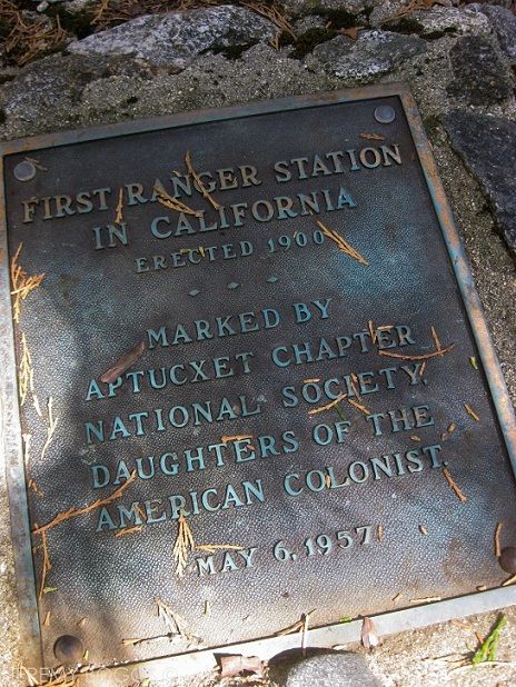
Reaching Devore at a fine afternoon hour we had plenty of time to collect wood & explore all the small nuances of our new home for the night. Though this was fresh to us three, Devore Camp is a storied place, named after an old married couple that operated 2 camps in the West Fork in the 1920's, producing all the lumber for their camps there at a mill in the canyon.
Reflecting on the first days travel, the most beautiful section I believe was from West Fork Camp to Devore. The trail crosses the creek often & clings the side of the cliffs when traversing close the bends in the river.
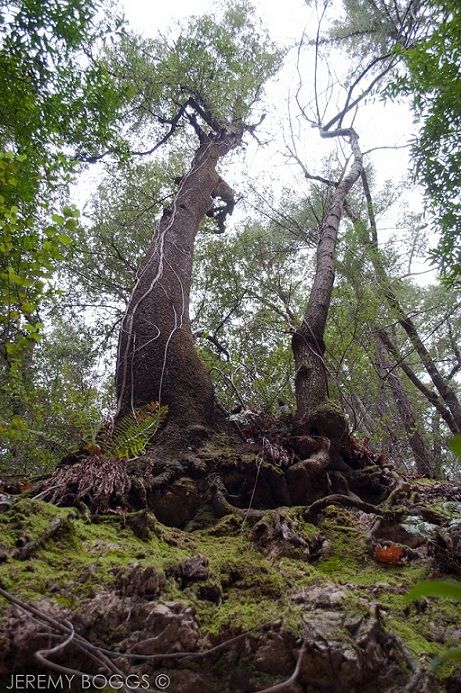
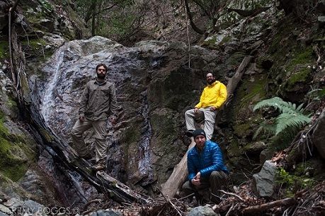
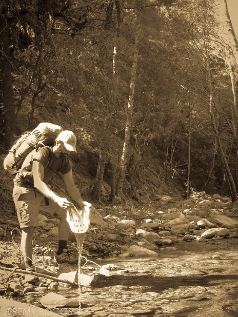
The photo above was taken along the West Fork & the photo below was taken in an un-named canyon that leads out of Devore that we were exploring.
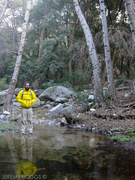
More canyon exploring below.
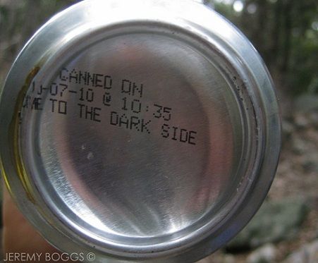
A hearty meal & a warm campfire is always a welcome friend, this time around we had two cans of Oskar Blues TenFidy... going on 2.5 years of aging. A delicious smooth drink to enjoy with some friends under the stars, in the woods, around the fire.
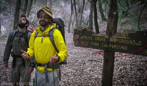
The next day we set out to conquer the last 8 miles of our trip. The first goal was to get to Newcomb Pass. The trail leads right out of the upper campsite at Devore, some kind folks have strung up a falling trail sign just so as to point in the right direction.
The mile & a half to the pass is a wonderfully forested section of sustained climb. There is very few flat moments & our thighs were burning after some time. While walking this shaded northern slope encountered the most wildlife on our trip. There were large flocks of birds conversing in the tree tops, especially the closer we got to the Pass.
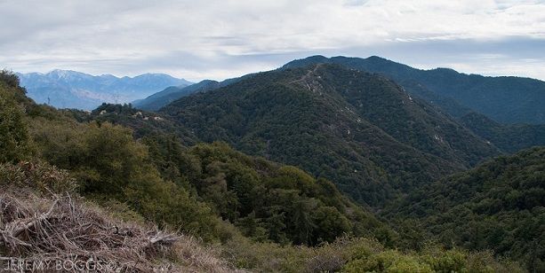
Scrambling up the east side of the Pass we were able to get a better vantage of Santa Anita Canyon that were going to travel down next. Looking far to the east we could see Baldy capped with snow.
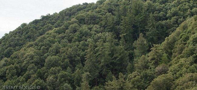
Descending down into Santa Anita Canyon is like a slow shift back into city life. We began to see a couple more hikers here & there. Then more cabins & family began to emerge. The trail is cut right into the cliff side at times, while other times it travels deep amongst the trees. The trails of the West Fork are much more wild, covered in acorns, years of leafs falling & debris from the steep slopes of Mt. Wilson. While the Santa Anita Canyon is well traversed & is almost entirely clear of any loose material at all.
After reaching the canyon floor near Sturtevant Falls it was a veritable zoo of people & their K-9s. We would have to paused at times for others to walk on the wide fire road & talked with several people about where we had come from. If anyone is familiar with Chantry, they know there is a wonderfully punishing asphalt climb, lined with day hiking familys gulping down water, wondering where they went wrong. Out of the canyon now, we only then have to walk down the busy mountain road to find our car in the hundreds that line the road... adding another half mile to the journey. Welcome back.
*Read Part 2 of Historic Gabrielino Trail West*