Friday, December 16

Hotlum Wintun Ridge - Mt Shasta


| Mt. Shasta - 14,179ft |

In Spring of 2016... it was the best of times, it was the worst of times. I got to try splitboarding for the first time. 

-------
------- 

| Mt. Shasta - 14,179ft |


But in all seriousness our group of friends had a blast! It was a great learning experience for myself tagging along with more experienced winter outdoor compadres. Ben had conceived this trip to Mt. Shasta several years back & after falling through once before was extra stoked to get up North.
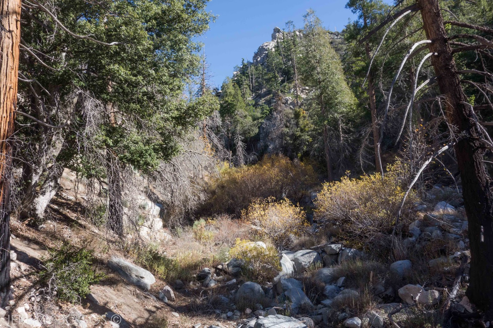
| Hiking the road |

| New deer legs |

Driving for many hours into the night from Los Angeles directly to the town of Shasta resulted in need for sleep, but excitement. Within the hour (2am), two more friends arrived from San Francisco to make the endeavor five strong.


After coffee & some rental gear we took in our first sights of the massive volcanic summit. Decidedly huge! Ben choose the Hotlum-Wintun Ridge route for a couple good reasons, way less crowds than Avalanche Gulch & the massive snowboard decent he had planned from the summit. 

| Favorite shot of the trip |

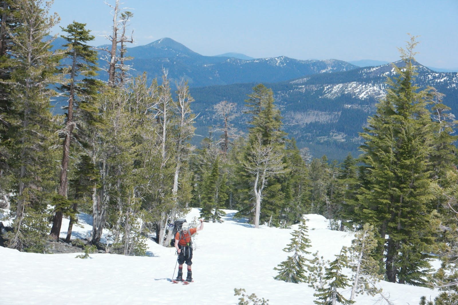
After driving as far on the well maintained (no joke) dirt road as snow would let us, we began to pack. Setting off to find enough snow to begin skinning we marched up the road quietly. As I had mentioned this was my first time & I felt like it showed. The gents from San Francisco were exemplary, one being a heavy British Columbia skier & the other having summited Shasta the same route the previous year.


Without going into too many embarrassing details, as the day grew longer it became clear that this would turn into a learning experience trip versus a summit bid for myself. My dear friend Daryl opted to join me for some big slope riding in the ten thousand foot range.


The next morning our separate groups had separate goals & everyone's day was great. Daryl & I skinned to an upper ridge & I got a bit more comfortable being out on skis. Finally after all this time, we clipped into our snowboards & road the most beautiful wide open mountain slopes I've ever experienced.


We would come to learn that Ben & our friends made it much higher on the mountain. Eventually Ben would break for the summit & conquer Shasta after planning this trip all those years ago. Well deserved!


 | People going to the summit |

 | Ben's summit photo! |

There really was nothing like carving huge sweeping turns with not a soul in sight. I'd spent my whole life riding at SoCal mountain resorts & I had fallen hard for this experience. Riding right into camp at the bottom of the slope topped it all off.


I had seen it coming the day before, my beginner size load of crap in my pack was going to give me issues snowboarding out to the car, which is notoriously difficult on return from this route. Alas, with some laughs & again, some awesome friends, we all tossed back a beer at the van without too much navigation issues.

Sunday, December 11

Upper Devils Canyon - San Gabriel Mts


 | Drawn for visual aid |

Saturday morning Collin & I drove separate cars up the Angeles Crest Highway, night time peeling back to reveal the colors of dawn. Leaving one car at the Devils Canyon trailhead, we hopped in his SUV & kept moving higher in elevation to the Mt. Waterman trail. Morning sun not helping the low thirty degree temps outside yet.

-------


-------


 | Heading to Twin Peaks |

| East Twin |

Our plan was to explore the upper section of Devils Canyon, dropping in from Twin Peak Saddle high in the pines & finding the exit trail out of the canyon the next day. Winds where whipping around the icy slopes we first hiked. The melt, freeze, melt, freeze effect that is classic & dangerous in SoCal was in full effect.


| Bear print |

After a few miles we were on the main switchbacks heading to Twin Peaks Saddle. It was fantastic to be out in the brisk morning air with the first bit of winter here in SoCal. Arriving at our first major objective, we ran into a couple other hikers I had just met earlier in the month on a TRVRS Apparel Group Hike. Check out that crazy trip here, S. Hawkins Traverse via Rattlesnake Peak!

| Good views |


Wishing them well on a their snowy ascent of East Twin Peak, we double checked our maps & stepped off the trail into Devils Canyon. The last writing I could find of this place was from 1999, we would learn it had changed a bit.


Snow lined the canyon bottom as we rambled through the pines, animal scat was present always & within about three minutes we started to see bear prints in the snow. Very cool. Staying mostly in the main creek or just to the right/north of it on the upper slopes worked well enough. There was a use trail of the faintest regard at times.

| Anyway you choose |
  
| Push through |


After about an hour or so of gorgeous walking we came to the top of a waterfall, marked on the USGS topo maps. It was easy to tell this was coming because the canyon becomes more narrow & choked full with bigger & bigger boulders. There is a passable ledge on the left of the falls that leads to a scree slope. Putting us below the main falls, but still in the middle of the large canyon cascade. Moving across the falls to the right, down & then again over to the left across the falls one more time landed us in the most dense fall foliage you could ever wish for.


| Looking back up canyon |

Post holing years of backcountry vegetation now, the snow had long since gone above the 5,400 foot mark. The next four hours would become the navigation/bushwack challenge that our friends know the San Gabriel delivers all so well. One good note, the beginning of winter allowed for the Alders to have lost most of their leaves, allowing our sight to go much further than would be possible come Spring time.


 | Canyons are getting wider now |


Along with the mostly hip to shoulder high plant insanity, the number of fallen trees was becoming laughable. The trip had become a cross-fit-esque maneuver over, under, balance, crawl, focus type of "hike". Still is great spirits & enjoying the solitude a place like this affords just outside Los Angeles.
 
| Which way? |


After a few more hours the grade of the canyon slowed & became much wider. Both a good sign, but allowing for much more vegetation to grow. We used some embankments on the south side of the canyon to weave up & down just above all that mess. 

| Looking down Devils Canyon |


 | Beautiful |

 | Water source |

Overall, water was available in the middle of the canyon & for a few moments lower down in large very still pools (seen above). Eventually a nice flat spot on the south side of the canyon revealed itself to us & we called it home for the night. Good meal, few beers packed in & a quiet nights rest in the canyon.


The next morning we spent about forty minutes hiking down canyon on a growing use trail that had appeared. This being a good sign b/c we needed to find the main trail out of the canyon. With a watchful eye & some decent map skills it wasn't much trouble to find the ridge that signified the trail was near. 


Now moving on a wonderful path up out of Devils Canyon we could enjoy the simple joy of hiking. A hawk spent an extra moment or two eyeing us from a few different perches before deciding he couldn't take us down. The signal to the end of all weekend backpacking trips in the San Gabriels is when you can hear the motorcycles again. The parking lot must be close.

 | Getting closer to the exit canyon |

| On trail again |