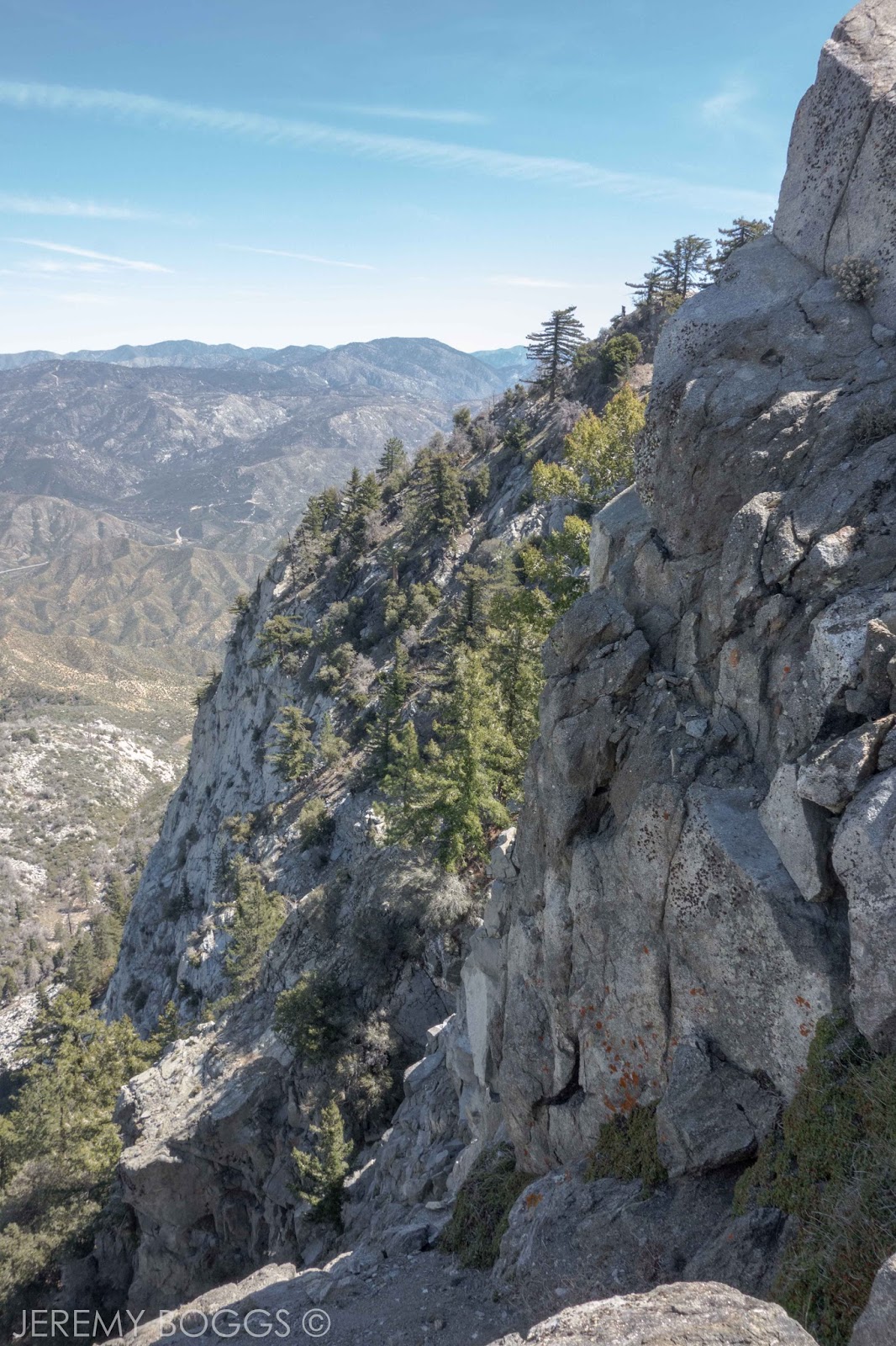
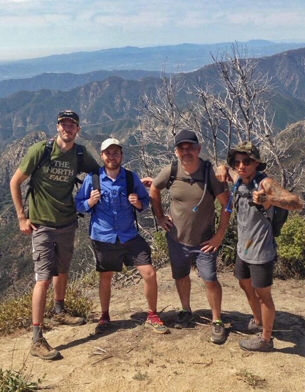
For some time now there had been some unfinished business in the San Gabriel Moutains. A few years back the history nerd in me wanted to hike the Gabrielino Trail due to its historic presence for the early Tongava Tribes in the Los Angeles basin. Following later in the 1920's to early1950's being a heavily trafficked trail for The Great Hiking Era & many of the resort camps that dotted the front country canyons.

The Gabrielino route is a designated National Recreation Trail & at it's proper terminus would be a 28.5 mile horse-shoe shaped hike from the suburbs of Pasadena, to high saddles hidden behind Mt. Wilson & crossing four major watersheds. A fire has closed the true western beginning/end to this hike so this report will cover a new & different route to complete a new and different look into San Gabriel history.


If broken in half, Red Box Parking area is a really decent halfway point for the entire trail. Several of our group have completed the eastern section of the Gabrielino Trail many years ago, but now it was time to finish our business.

Leaving our first car at the parking area at the end of Chaney Trail Dr., we carted everyone 40 minutes up to Red Box Trailhead & shouldered our packs. There is a nice trail sign on the west end of the parking near the Native American Museum. Now all we had to do was walk back to the city...


The first miles of trail in the canyon were much nicer than expected. Zig-zagging down the large wide canyon. However we are also sharing this portion of the canyon with Angeles Crest Hwy so there is a bit of background motorcycle or two. Alas, it doesn't detract from the Spring green & yellow blooms that litter the bottom of the canyon.


Without any trouble we make it to Switzer Day Use area & stop for a proper breakfast snack. The tables are already filled with large family parties ready to enjoy the spacious setting for the day. Packing our things we follow one of the most used trails in the Angeles National Forest to Switzer Falls. Part of the historical element of this hike took place in this area of the canyon, mainly in the crumbling remnants of an old cliff side chapel & a trail side camp. Along this section of trail there is a junction where the original Gabrielino route splits towards fire ravaged Oakwilde & its traditional end/beginning. I have devised something a bit different to complete our finish back to the city.


Once reaching Switzer Falls our group split into various levels of activity & inactivity. A few more nimble people climbed up past the falls & on to check out another waterfall that travelers see from high above. Others snacked & took photos, while some simply napped.


Moving again, the trail becomes far more interesting from here in my opinion. Passing several nice pools in the canyon we turn up into Bear Canyon & the sights become even better. Our trail moves back & forth over the stream & offers great moments of large canyon walls. After a couple miles of hiking high above the river or traipsing right on the stream bed we come to Bear Canyon Trail Camp.


I'll keep it short, but the trail has a funny way of working out. Bear Canyon Camp has about two & a half good camping sites. There was already a group of four woman in one camp & a solo backpacker in the other. After some friendly deliberation with everyone, our group of nine (?!) was taken in by the solo hiker. More like swallowed or enveloped. After a night of good laughs & a few campfire stories our new hiker friend decided to drop his original plans of hiking back to his truck & accompany us on our much longer journey out to the city the next day with a shuttle waiting.


The next morning, with big smiles, now ten people strong, we head further up Bear Canyon where I have read there is a "flagged route" but don't expect normal travel. Our goal is to reach Tom Sloane saddle & drop into the next watershed south. But before we do, we crawl under countless downed trees, hike eroding trail cut directly out of the cliff side. We waded through enormous shrubs & vegetation lining the upper section of Bear Canyon.


With a keen eye & some hiking confidence, the trail wasn't particularly difficult to follow. You will just have to have your eyes peeled for the best traveled route, cairns & plastic tags tied to branches helped. Crossing the the creek to the south side the trail took us to a small rise with a decaying stone cabin being reclaimed by the growing under-story.


Conveniently placed right behind these ruins are the beginning of the switchbacks that take travelers up & out of Bear Canyon. The long, perfectly graded forgotten trail we were hiking put a permanent grin on my face. Grass grew throughout the entire path, showing little travel was ever seen here. Tunnels of purple blooming chaparral covered the slops while the canyons oaks were left behind. At one point we round an exposed knob with views all the way to the Arroyo Seco. Scanning the places we had hiked the day before & turning far into the untraveled sections of Bear Canyon. Even a baby rattlesnake was enjoying the views at the same spot.


After a few final shaded nice switchbacks we reach the sunny & exposed Tom Sloane Saddle. Everyone is working on finishing the last of their food so as to not carry any of it out the final 6 or 7 miles to the exit. Our new hiking friend is still stoked he chose to come with us (whew!). Looking now further south into Grand Canyon we enter a new watershed & choose the proper direction at the trail junction.


This slope being fully exposed to the afternoon sun was full of ankle biting chaparral. We had connected onto the second unmainted trail of the day. It didn't seem in too bad of shape most of the way down into the upper reaches of Millard Canyon. There even seemed to be some really nice sheer waterfall rock formations much lower in the final moments before stumbling to the canyon floor.


I say stumbling because, before we could reach the canyon floor, there was a section of trail, or lack there of that had to be tackled. We knew now that very few people hiked the upper section of trail we had just done b/c the access to the lower part was a very sheer dirt slope w/ rock & grass covering it. Not to say it was life threatening, but I would have never guessed had we been hiking up canyon to EVER take the random half trodden foot holds up fifty feet to an indiscriminate foot wide path above the multiple canyon waterfalls. (update - 4/12/2018: This portion of the trail has be worked by a crew since our trip. Thanks!)


With that behind us, we were on new terrain now hopping from boulder to boulder along the Millard Canyon stream bed. With no real hurry, we worked our way over & back clambering down choked sections of the stream. Truly a welcome challenge from the last hours of sunny slopes.
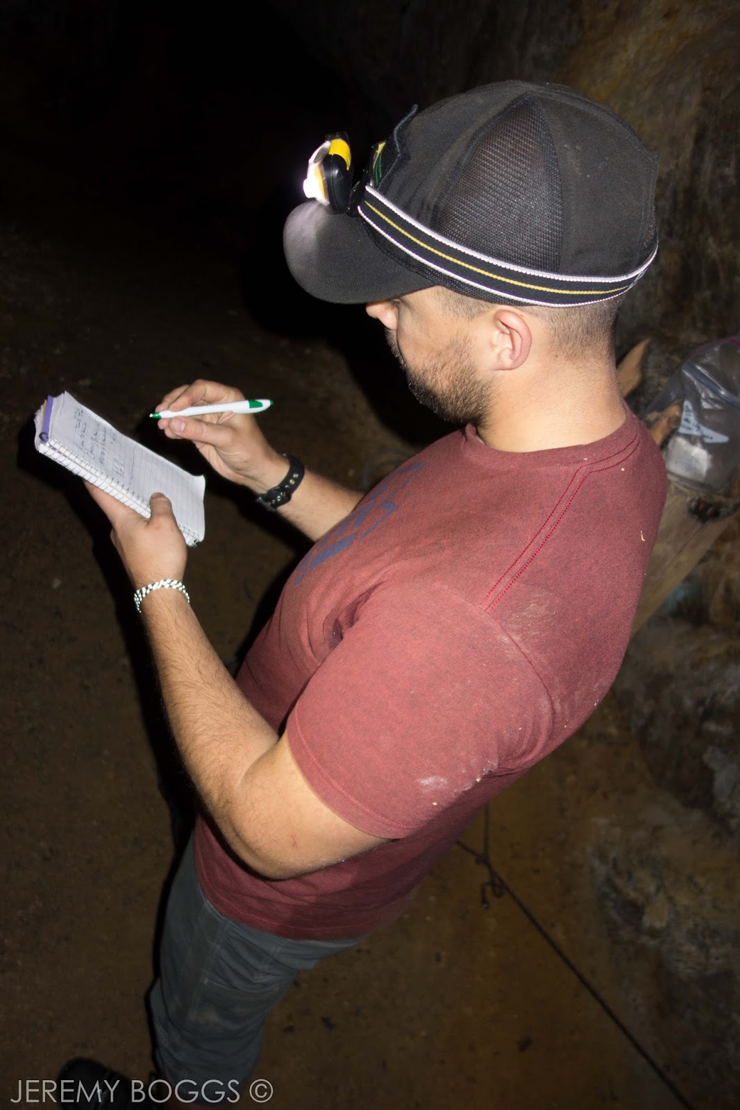

At one point we stopped to inspect the Upper Dawn Mine shaft opening. Only going about thirty feet into the rock hillside, it was a marvelously cut tube. Fifteen minutes or so down canyon from Upper Dawn Mine we came upon the rest of the group relaxing in the shade outside the proper entrance for the original Dawn Mine. First gold claims were made in Millard Canyon during 1895, with Dawn Mine changing hands in 1902 to Michael Ryan. Exponential work was made to extract gold from the multiple shafts deep in the cliff side until Ryan's death in 1929. Being purchased several times overs into the 1950's with little luck to later prospectors.


A few of us took the plunge into the chilly water that continually inhabits the lower sections of the mine tunnels. After the initial entrance the mine opens up to a two story tall cavern. On one side leads a dark tunnel, the other is a 50 foot deep vertical tube completely filled with water. We explored the first tunnel to it's end & return to have a look in the second tunnel. There is a stream of water falling from an upper shaft leading down to fill the secondary tunnel.

The last three miles from Dawn Mine to our cars was pleasant trail that many of us had walked during previous outings. A criss-corssing of the stream several times & the new found trail maintenance that has been done is outstanding. Smiles settled on our faces after now finding a way to complete the Gabrielino Trail in our own fashion. Using a couple old trails & maintaining the element of history by utilizing Millard Canyon to see Dawn Mine hopefully keeps hikers happy.