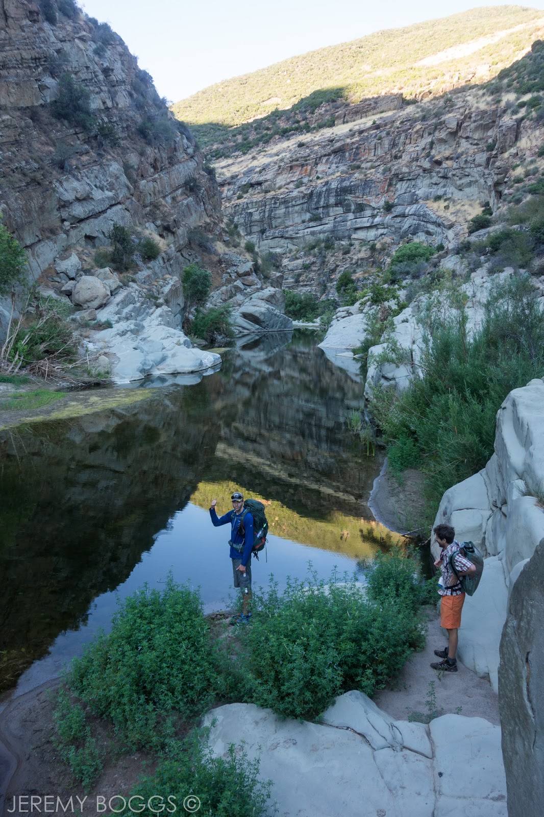
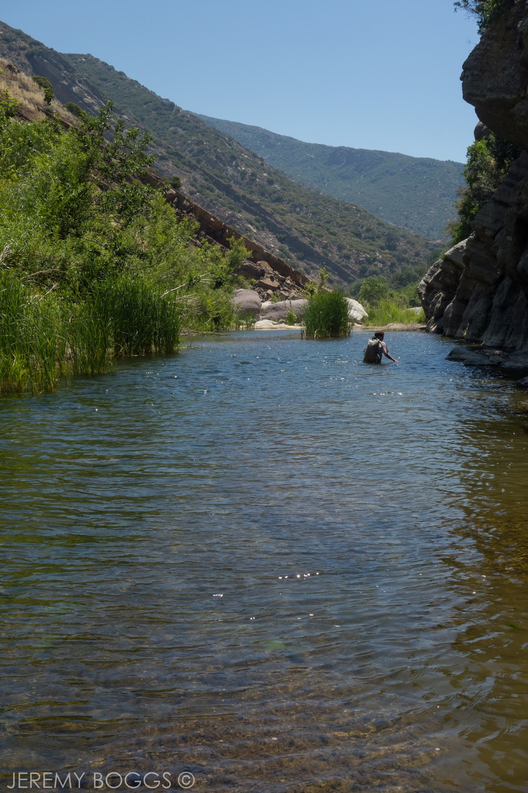
A much lesser know trail is tucked away deep in the eastern Los Padres National Forest that gives hikers a truly dynamic hiking experience. Low lying chaparral zones, Native American pictographs, tall pines forest in alpine zones & what appears to be heavy bear habitat in rolling canyons. Since the 2017/2018 Thomas Fire, one of California's largest in history, this trail has been closed, so double check before you go.


I had been trying to get a trip together to hike the entire 19-ish mile length of the Gene Marshall Piedra Blanca National Recreation Trail for some time now. There are some logistics that make the set up a bit cumbersome, but not outrageous. The car shuttle is the worst of them. Connecting the Reyes Creek Trailhead and the very popular Piedra Blanca Trailhead is about an hour drive between them, both several hours from Los Angeles proper. Another factor to consider are portions of the trail can reach elevations that will get snow in the winter & the water situation can be tricky in certain seasons. Check here for updated water reports.
Now to the hiking. We chose to leave the first car at Reyes Creek and then drive around to Piedra Blanca trailhead. This meant one big climb mid hike on day one, with lots of rolling downhill terrain on day two. Leaving the cars behind now, turning left at the trail sign that points MOST everyone to Willet & Sespe hot springs felt good to finally get on portion of this trail I hadn't hiked before.


Weaving through the large sandstone monoliths that can be seen from all around we kept a sharp eye for the famous pictographs that are quite accessible from what I had read previously. We lost our way a bit and missed finding these, but got to do some fun scrambling all over the boulders. Back on the trail, we headed east towards the huge cliffs that make up Pine Mountain.


Along the trail we found a lot more water than expected in Piedra Blanca creek, passing the first two camps, Twin Forks & Piedra Blanca, ideal for those wishing for a short overnight. Getting further now into the North Fork towering canyon walls began to rise up, giving a very dramatic look.

Rambling left and right, crossing over the river a few times we finally were at the base of our climb to the mountain pass that guarded a much anticipated pine forest. Couple miles with 2,000ft of gain were ahead of us, but we took it mellow & were on top within no time. Moments were quite steep, but steady for the most part. Best to do later in the day b/c the western ridge shaded us from the hot sun.


Now at the apex of our elevation gain for the trip we wandered around following the path looking for our camp. We had decided to use Pine Mountain Lodge Camp b/c it seemed to have the most reliable water source of all the camps. We would learn the next day a few of the camps further on the trail also had access to a bit of water. It was early December and not a time know for burgeoning creeks.

After setting up our essentials we headed out of camp on an easy use trail for about five minutes to find the water source. Flowing, cold & serene. Upon returning to camp we had a visitor. First person we had seen since the parking lot that morning. A woman was there and proceeded to explain she had slipped and broken her wrist not more than forty minutes ago on trail?! Still quite calm, her wrist was very swollen & wouldn't move. We helped her fashion a sling, get a warmer layer on & move food from inside her pack to the front. It was 4:30pm and would be dark very soon. She had about seven miles back to her car & explained last time she was out in this area she got lost. A bit concerned we double checked the map with her to make certain she knew the direction she needed to go & all the little details of the route. Off she went and we just hoped all was going to be ok. Full disclosure, we found a Facebook post after our hike that she had safely gotten to her car & to a hospital around 2am. Good to know after the fact.

Back to our evening at Pine Mountain Lodge Camp, nothing out of the ordinary the rest of the night, but that was the only person we would see the entire trip. Just the way we like it next to the metropolis that is Los Angeles.
----------------------------------------------------------------
The next morning we slowly packed camp and set out for the remaining 11 miles or so we had to reach the Reyes Creek trailhead. The scenery all along these first miles was some of the best of the entire trip. Canyons, pines & peaks were all around. We'd reach these low saddles that afforded wonderful views, then dropped down into lightly used canyons.


Reaching Three Mile Camp we found water again, but it was frozen over! This would have been a very cold night if we had continued down to this location for sleep. Still continuing downhill for the most part, now through heavy burn areas. All these miles & the next portion were the most signs of bear I have ever seen in Southern California. Scat, claw marks, paw prints & fur at one point all gave proof we were not the only ones to be using this trail.


One of the only two confusing parts of the trail was near Haddock Camp. Our trail bends around a knoll, while a peak trail crosses the creek and leads up the mountain side. Make sure you are on the right trail at this point.


Still more downhill with punctuated climbs brought us to more saddles with outstanding views. Taking breaks from time to time just to sit in the quite beauty of this seldom traveled place was a great reward.


Finally down much lower our trail was in a new canyon that revealed an even greater bear presence. At times more sandstone walls rose high above, begging to be explored. Fall foliage littered the ground thickly while we strolled among barren forest. We took our last break at Beartrap Camp, very ideal for a quick weekend get away with water close by and just far enough from the car it takes a bit of effort to get there.


Once leaving Bearcamp there is a water crossing that brings one to switchbacks that are seen on the map, but for some reason hard to locate the beginning of them in person. We had separated a bit and all three of us had trouble starting the climb, but once on the trail VERY easy to follow. Cresting a fairly large hill, massive pine forests climbed the mountains to the west of use, while the high desert can be seen way in the distance.


Joining my companions again miles later at the last trail camp (Upper Reyes), we made the last ascent to a saddle & all cruised the last few miles to the trailhead. It felt great to finally see this slice of the Los Padres after so many other trips in the lowland chaparral that this National Forest is so infamous for. I highly recommend this trip once the forest service opens it up again.